

Josephine Peak hike, located in the San Gabriel Mountains, is a 5,561-foot summit that offers stunning panoramic views and a solid workout. This trail is perfect for hikers seeking solitude and adventure, just 30 minutes from downtown Los Angeles. While it’s not as popular as some of its more famous neighboring peaks, it’s a hidden gem for those who love SoCal hikes with incredible views.
I chose this peak as Hike #2 in my Couch to Peaks series. This hike is a bit more challenging than my first Eagle Rock Trail hike, but it’s a perfect step up as I continue to build strength and stamina for my Couch to Peaks transformation.
Here’s everything you need to know about hiking Josephine Peak Trail.

trail information
DISTANCE: 8 Miles
ELEVATION GAIN: 1896′
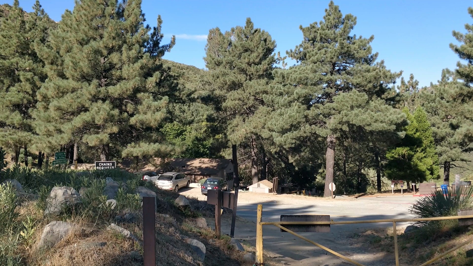
TRAILHEAD: across the street from Clear Creek Fire Station.
RATING: Moderate
BEST TIME TO GO: Spring & Fall
DOWNLOAD GPX:
watch this hike on Youtube
I made a video of this hike — watch it here. 👇

trail description
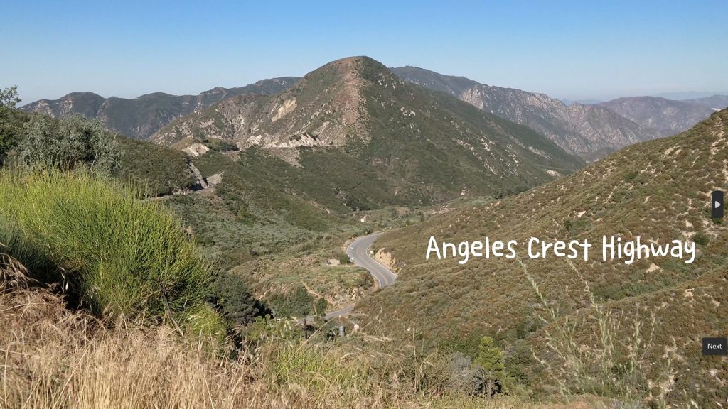
Josephine Trail is located at the junction of Angeles Forest Highway and Angeles Crest Scenic Byway (Highway 2). At a short 30 minutes drive from downtown Los Angeles, Josephine Peak is one of the most easily accessible peaks along the Angeles Crest Byway.
There are a few things you need to know before you hike this trail.
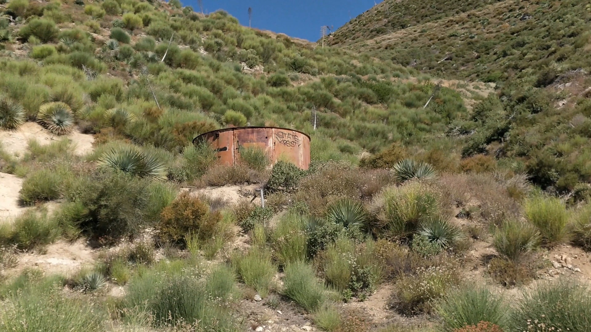
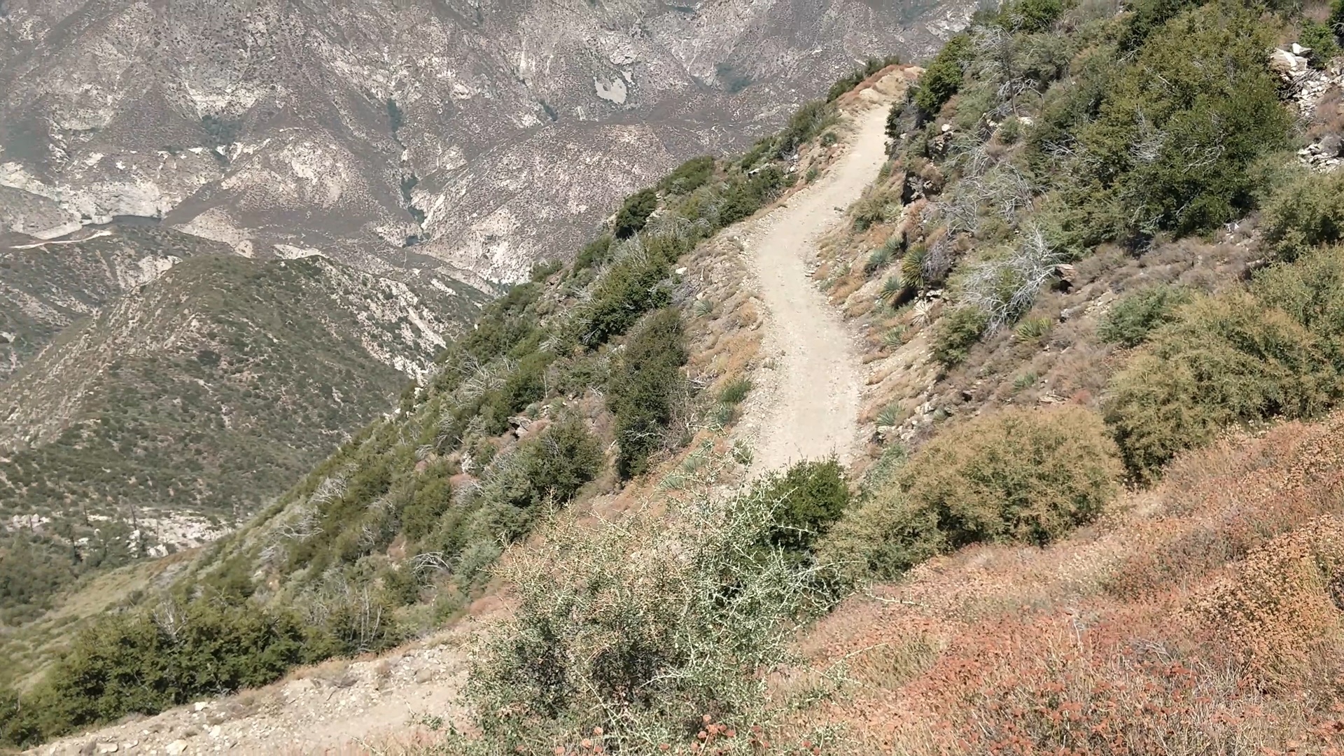
- This trail runs entirely on open fire roads. It’s an out and back trail with lots of switchbacks. There’s very little shade available on this trail so I recommend starting your hike as early as possible and be sure to bring lots of water.
- Spring or Fall is the best season to hike this trail. Summer can be brutal unless you start extremely early. During winter, the altitude is high enough to receive snow, so be sure to check road conditions before you go.
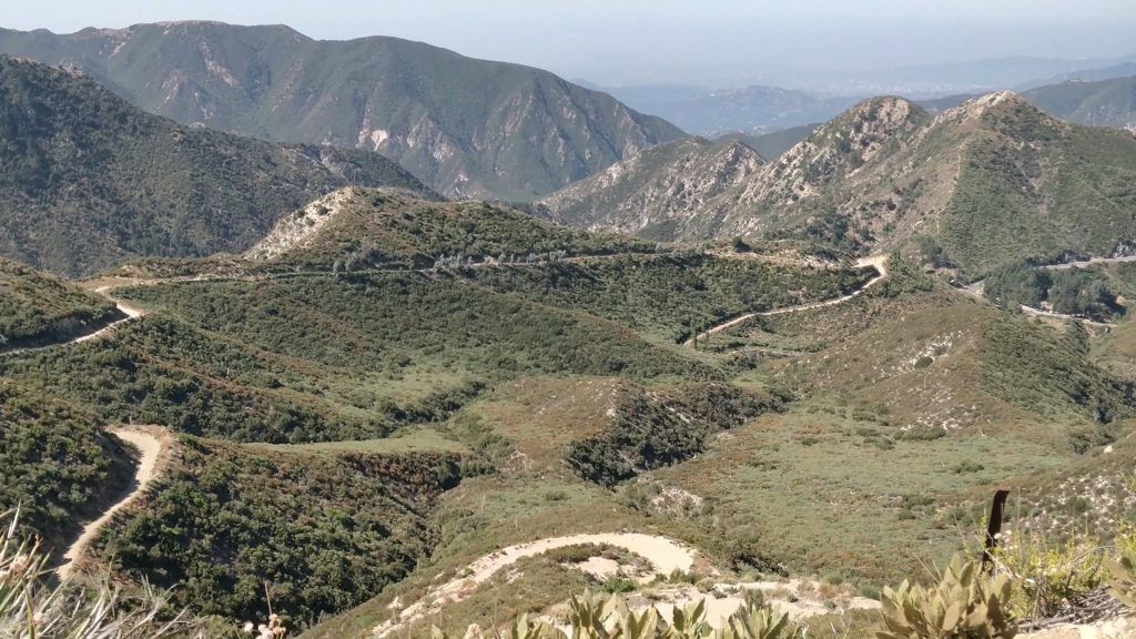
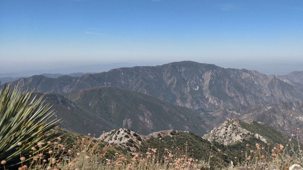
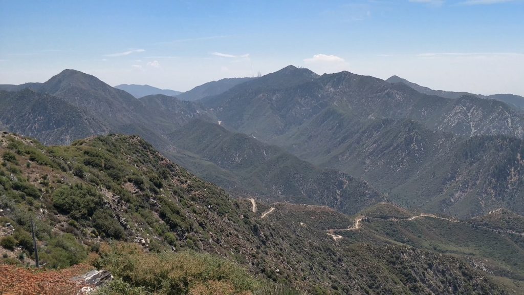
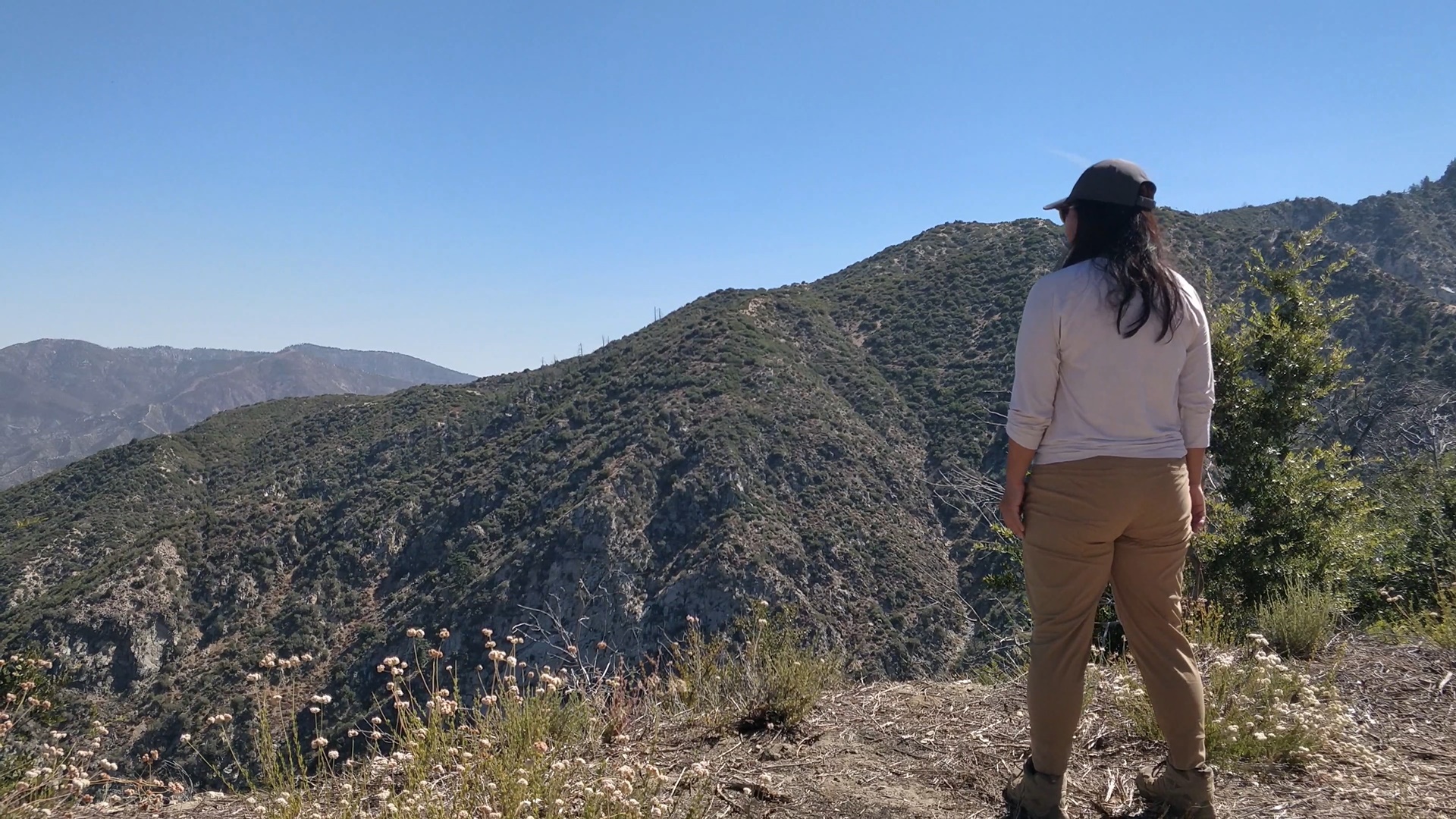
- This trail offers spectacular views. From the summit, you’ll enjoy panoramic views of the San Gabriel Mountains and the city of Los Angeles. If you’re lucky, you’ll find yourself standing above a sea of clouds.
Trail Overview
- Trailhead: across from Clear Creek Fire Station (Show on Google Maps)
- Parking: small parking area along Angeles Forest Highway, near Clear Creek Fire Station
- Trailhead Elevation: 3642′
- Summit Elevation: 5561′
- Distance: 8.1 miles
- Elevation Gain: 1896′
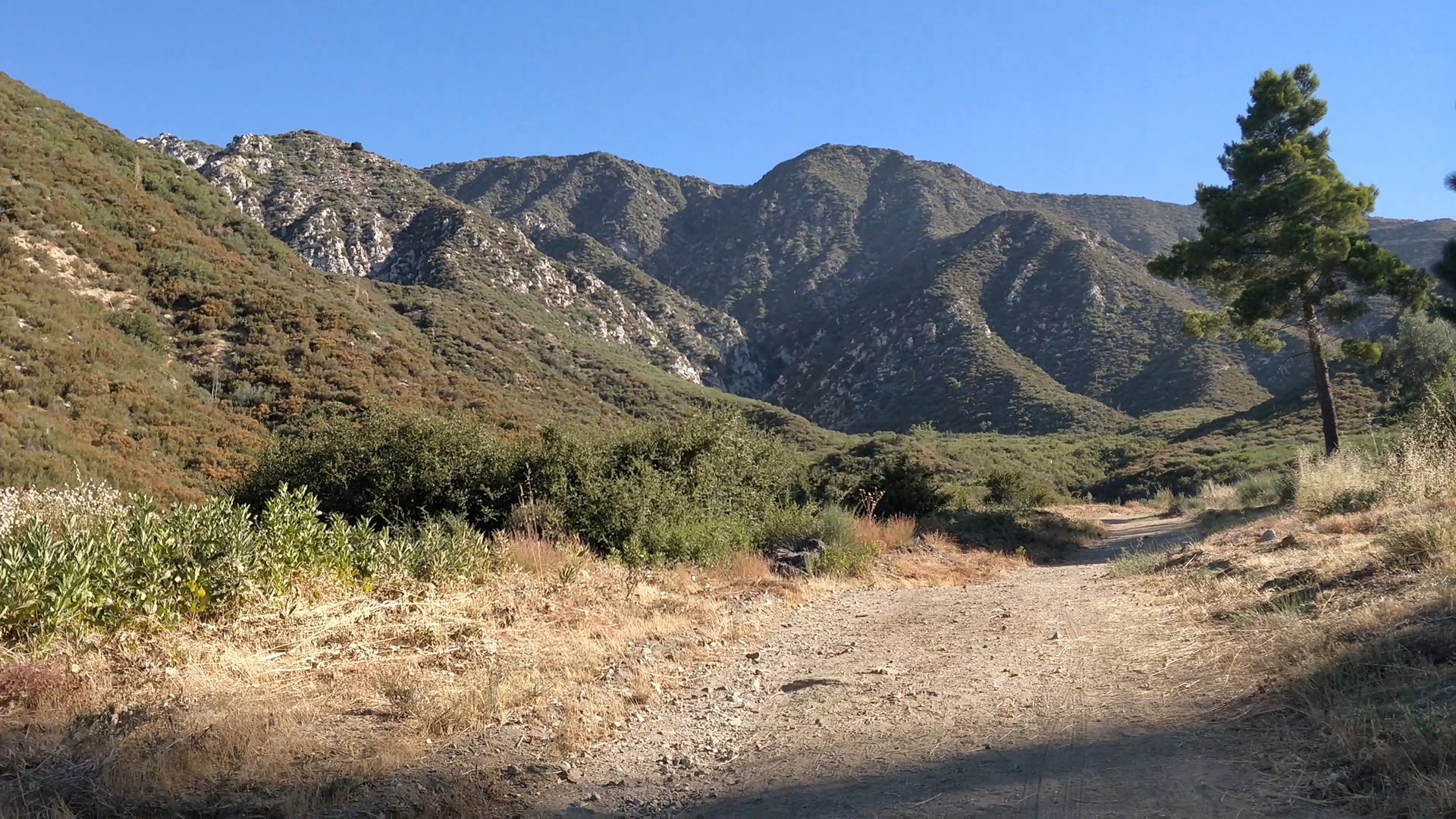
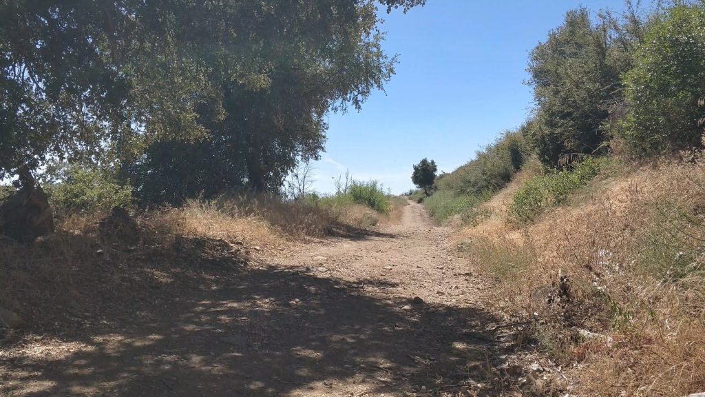
My journey began at the trailhead across from the Clear Creek Fire Station, just off the Angeles Crest Highway.

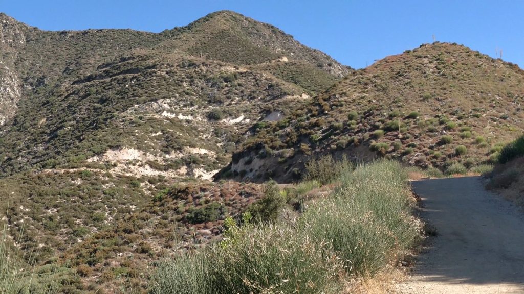
The trail follows the fire road all the way to the summit.

As I continued, the trail climbed at a steady grade, leading to a series of switchbacks.
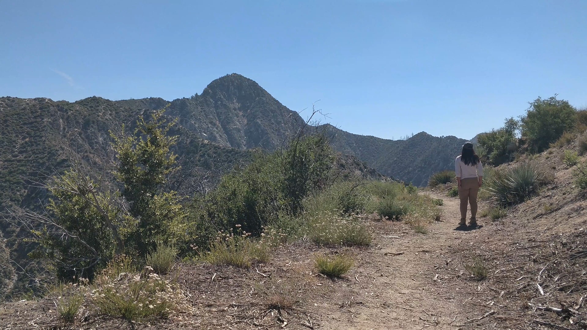
Reaching the Saddle
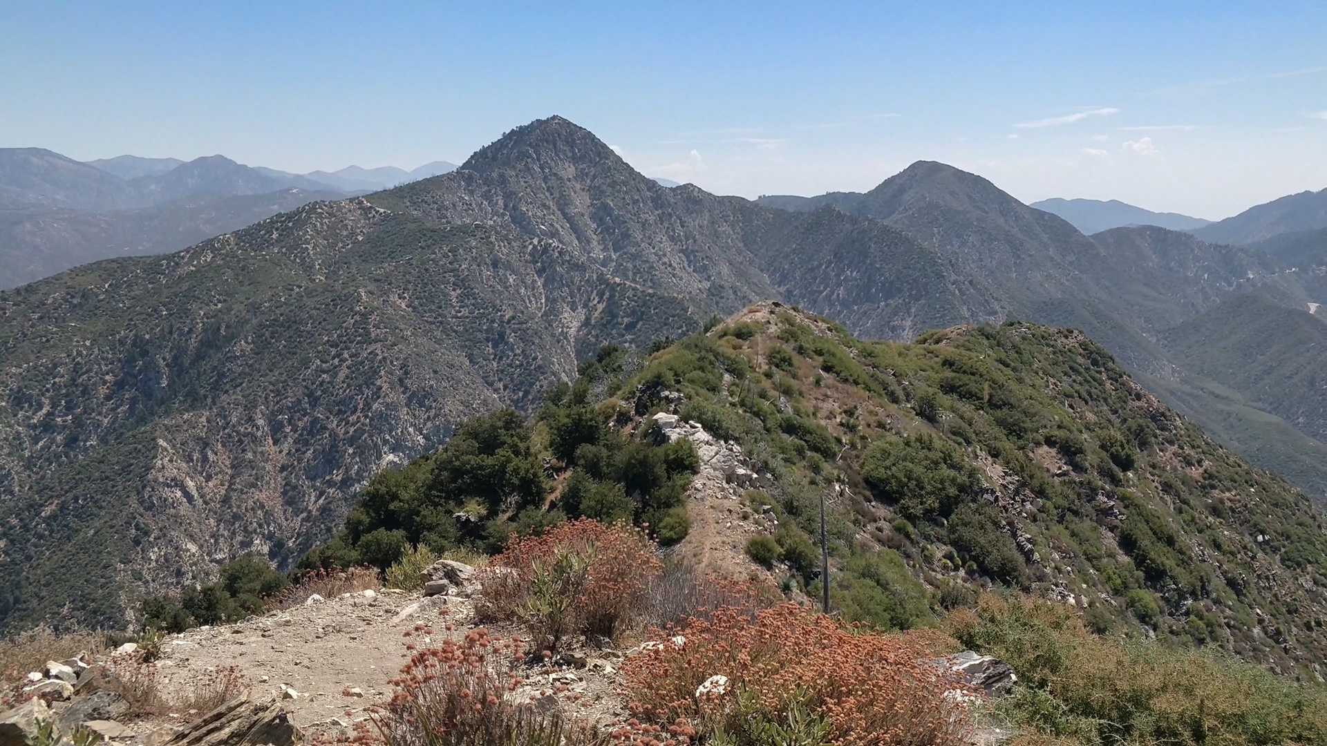
After about 2.5 miles, I reached Josephine Saddle. This is a great spot to take a short break, hydrate, and take in the views. From here, you can spot the trail leading down to Colby Canyon, which is an alternate trailhead for Josephine Peak. It’s roughly the same distance, but with slightly more elevation gain.

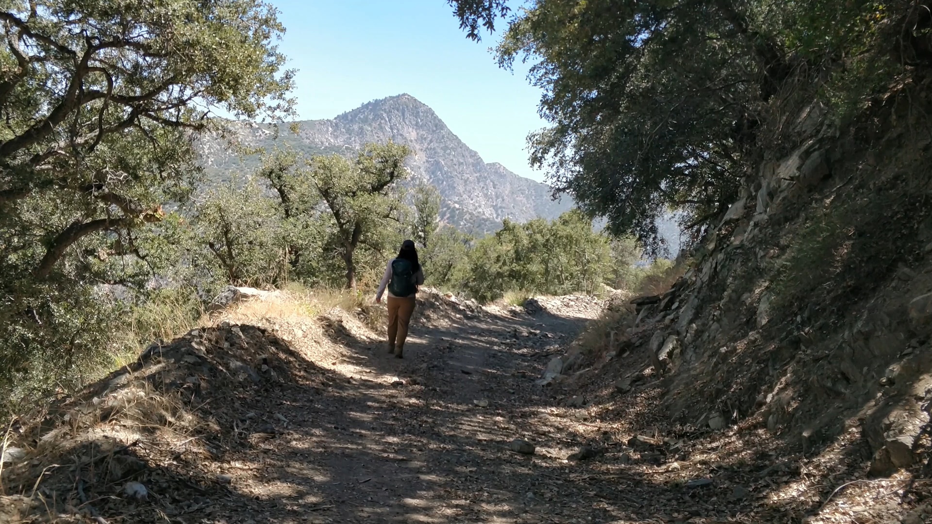
After taking a short break, I continued on the Josephine Peak Fire Road.
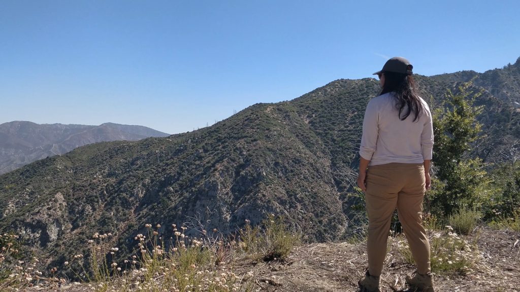
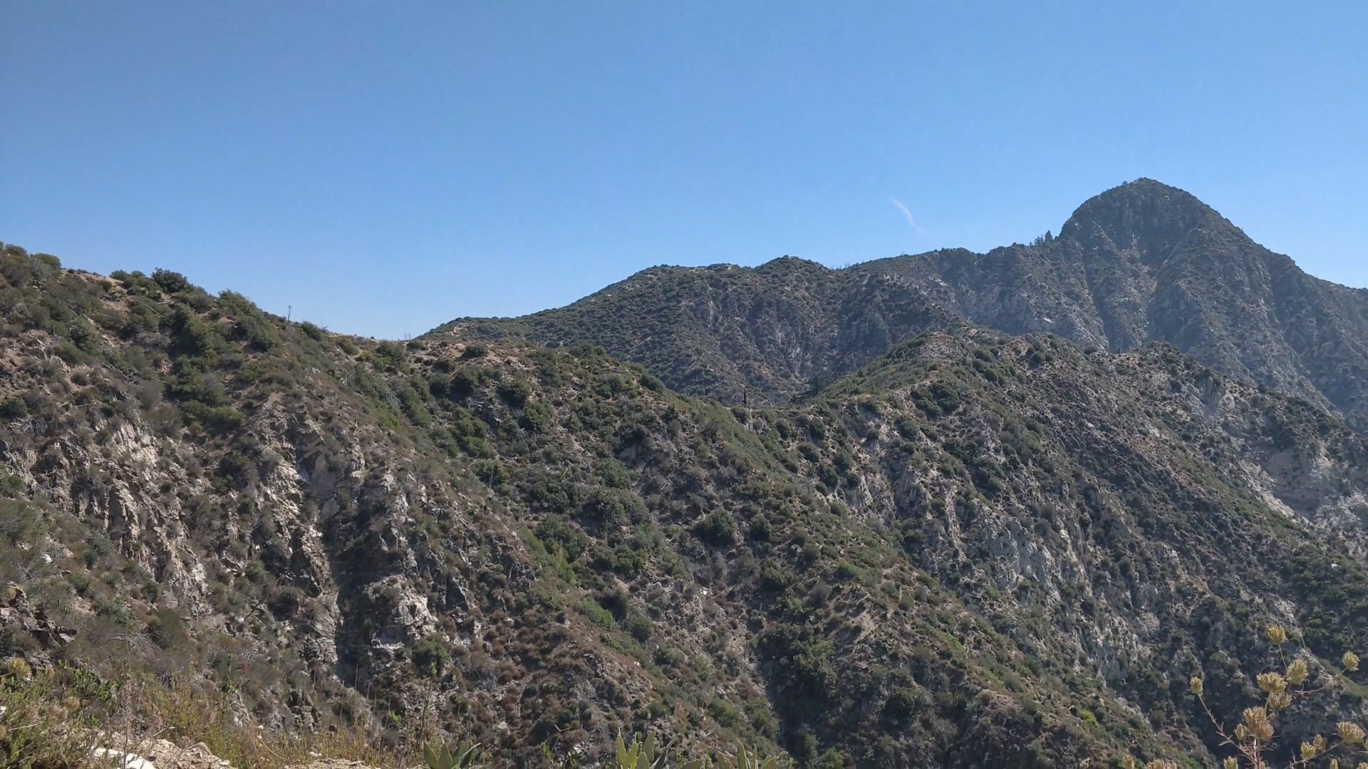
This section of the trail is really nice. You will be rewarded with sweeping views of the surrounding mountains, including the conspicuous Strawberry Peak. On a clear day such as today, you can see for miles. This section is less strenuous, giving me a chance to catch my breath before the final ascent.
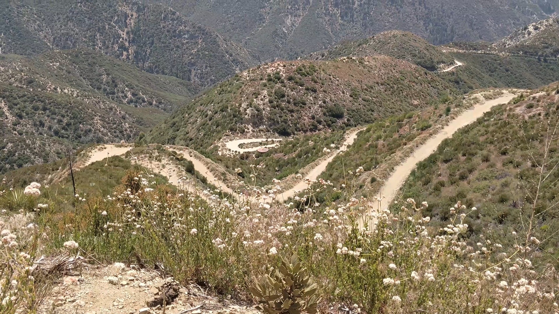
Final Mile
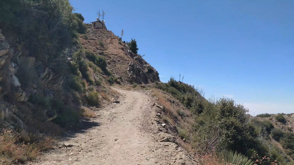
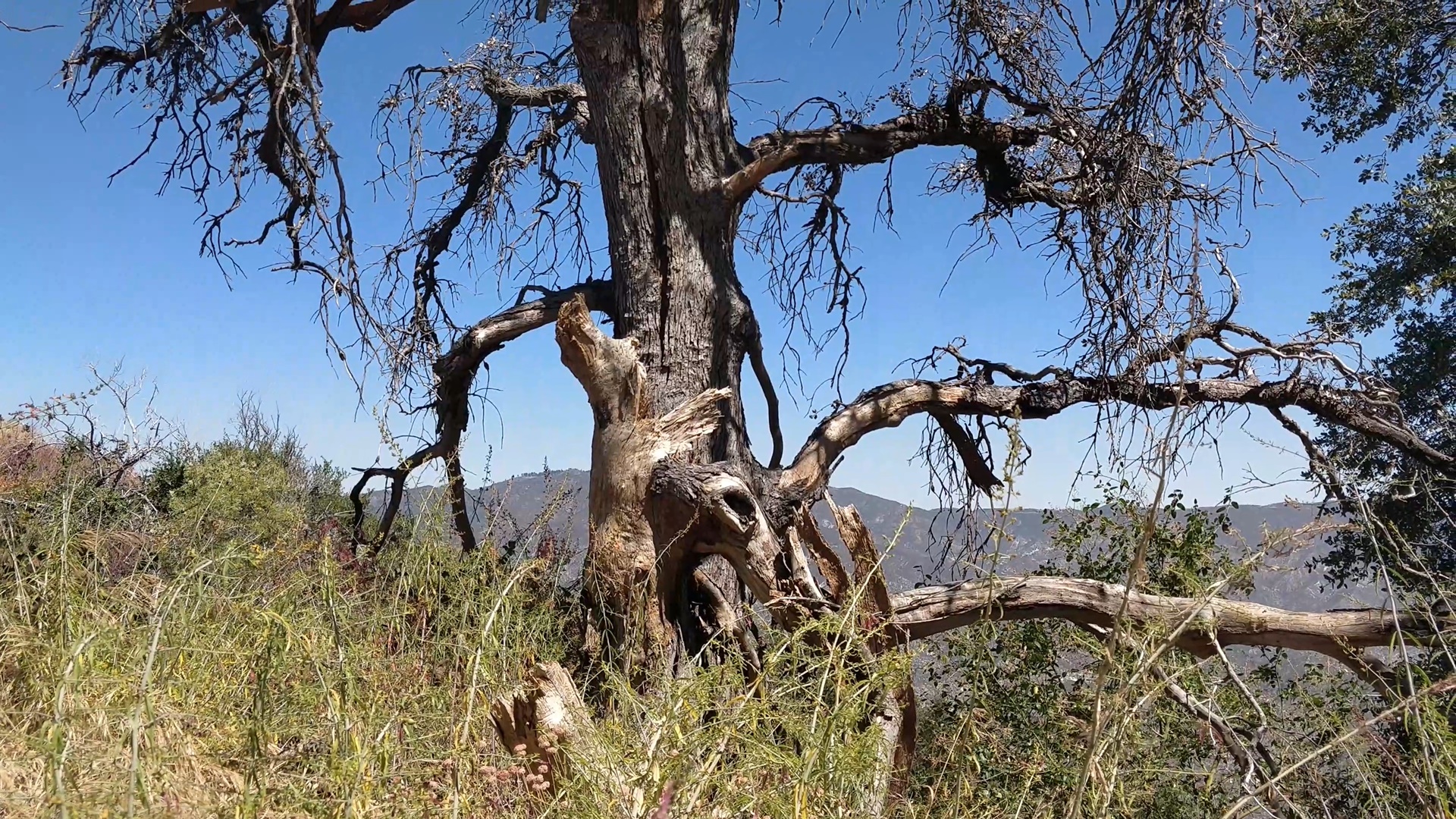
The last mile to the summit is a bit more challenging, with steeper inclines and rocky terrain. I paused every time I passed by a tiny amount of shade. It’s been a hot day, with no cloud cover and no breeze. I was starting to feel a little tired, but the peak was right around the corner.

I checked the map and saw that I had three more long switchbacks until the summit.
Almost there. Let’s keep going!
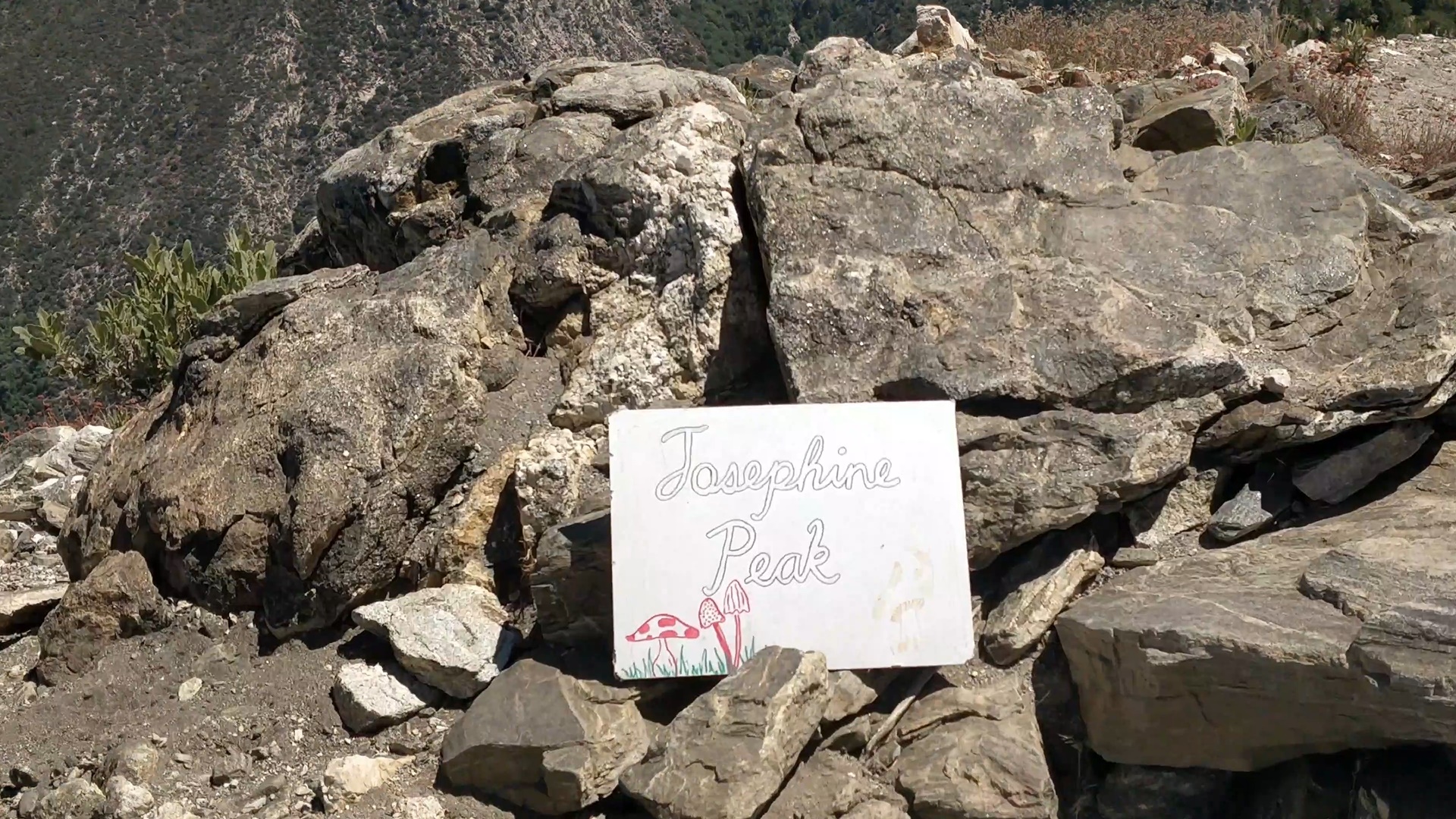
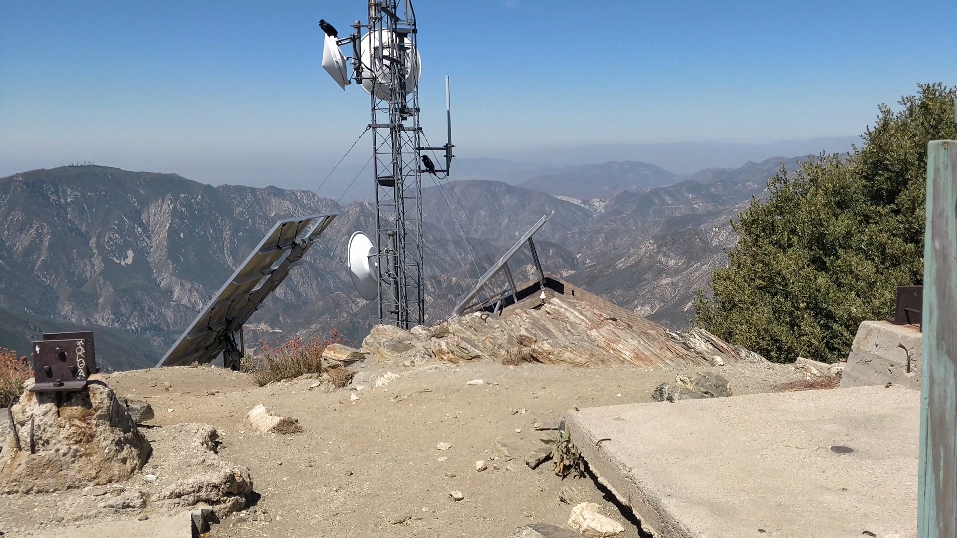
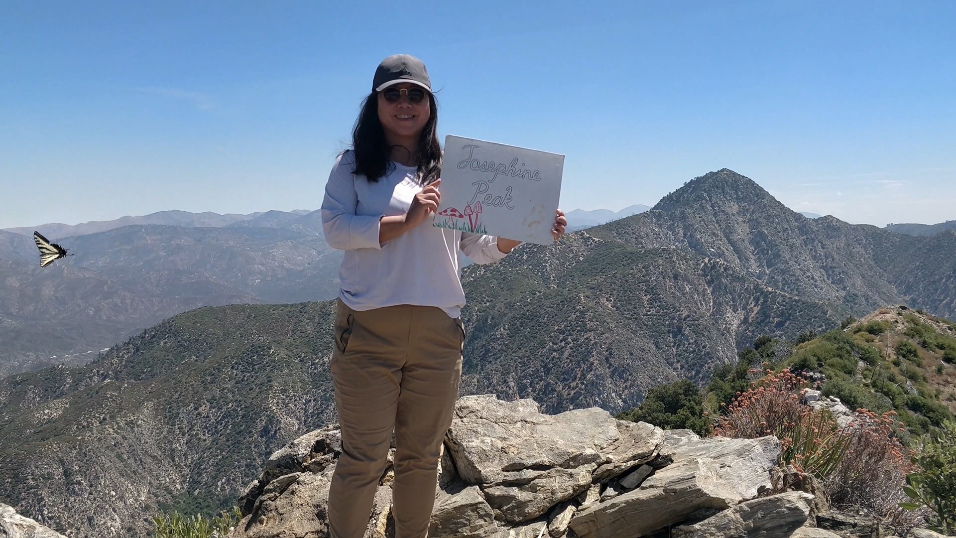
Summit
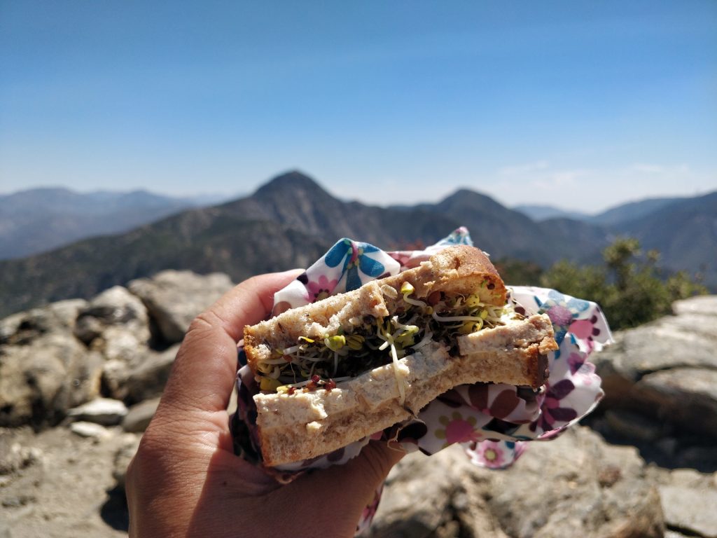
Finally, I reached the summit of Josephine Peak. Standing at 5,561 feet, the views from here are absolutely breathtaking. One benefit of hiking Josephine Peak on a hot day is that I had the summit to myself. At this elevation, I could see mountains from all directions.

This is a good spot for my lunch break.
As I sat there enjoying my lunch, I had a chance to reflect on my Couch to Peaks journey so far. It has been quite a few weeks since my first hike to Eagle Rock. When I started this Couch to Peaks series, I had intended to hike a new trail every week and document it. But, life got in the way. I got sick during one week, and the weather has been very hot in Los Angeles lately. Too hot for my hiking comfort. Other social obligations came up. And before I knew it, three weeks had passed since my last hike.
Not a great start, right? Had I failed already?
In the past, I might’ve become disappointed in myself for not completing my goals perfectly. This perfectionism leads me to view things in a very black and white way. But this kind of thinking is not productive and it doesn’t make achieving my goal any easier.
Instead, I analyzed what went wrong.
What happened was that I had all the motivation at the start of my hiking challenge, but I didn’t have the habits in place yet. So as soon as life got in the way (such as being sick… the weather… social commitments etc), my hike got rescheduled, and rescheduled again.
Success is the result of daily habits, not once in a lifetime transformations.
James Clear
I was relying on my motivation alone to carry me through. But any sustained lifestyle changes require systematic changes in my daily and weekly habits. I can’t just do the thing once or twice and expect it to become a habit right away. I will need to be patient, give it time for new habits to form, and implement some of the techniques James Clear talked about in his book “Atomic Habits” to form sustainable, life enriching habits.
I will be reflecting more on building these habits in upcoming blog posts, but for now, let’s continue the hike!
The Descent
After my lunch break, it’s time to head back down. The descent was much easier than the ascent. For one thing, a gentle breeze started as I was making my way down from the summit area. Aided by the cooling air, I steadily made my way down all those switchbacks. I only briefly encountered a mountain biker and after he passed me on the trail, I had the whole mountain to myself.

Pretty soon, I got back to my car. Time to stretch and celebrate completing my second hike in this couch to peaks series!
Trail Highlights
- Panoramic Views of nearby peaks and mountain range
- Difficulty: Moderate
- Family Friendly: Yes, with caution for elevation gain
If you’re looking for a less crowded hike with stunning views of San Gabriel Mountains, Josephine Peak Trail is the perfect choice. You’ll enjoy fresh mountain air, unobstructed view of surrounding mountain ranges and plenty of solitude. And if you happen to hike on a day when the mountains are covered by a heavy marine layer, you just may be lucky enough to find yourself standing above a sea of clouds on the summit.
P.S. This is Hike #2 of my Couch to Peaks series. I’m in the process of transforming myself from a couch potato to a peak bagger. Check out my journey here.
download GPX
Download Josephine Peak Trail GPX


Leave a Reply